Truleaf Fields
Know which fields need attention today.
Satellite, weather and field records in one place.
Join the private beta
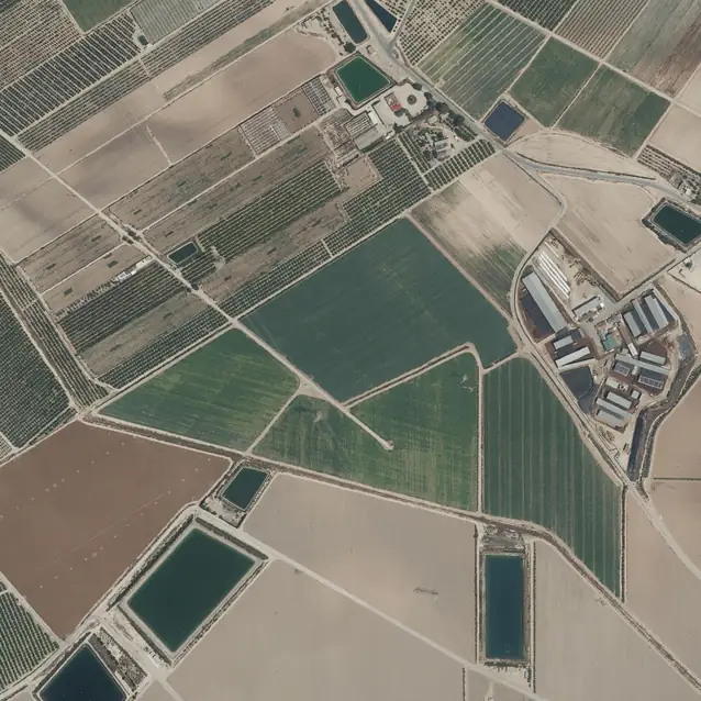
CC BY 4.0 scne.es | SIGPAC parcels © FEGA, CC BY 4.0
Fields
14 fields
Every morning
All your fields on one map. See what changed and where to go first.

Who it’s for
For the people who walk the fields
I farm
Your fields, every morning
See every field on one map, time your sprays around the weather and keep your records in one place.
- A satellite view of every field
- Frost and growth alerts
- Records you can export
I advise farms
For advisors and cooperatives
All your clients’ fields in one list, with the ones that need you first at the top.
- Import your client list
- Each client decides what you see
- One place for your whole team
How it works
What you do in Truleaf Fields
Start
Add your fields
Upload your field file or draw the outlines on the map.
See
See the satellite history
A new satellite image every few days. Cloudy days are marked accordingly.
Know and act
Get alerts and the spray window
Frost, a drop in growth or uneven growth: you know where to look. Each hour says if you can spray.
Record
Keep records and export them
Write down treatments on your phone, in the field. Export them as CSV or Excel when you want.


Before you drive out
Know which fields to check first
One look in the morning: what changed, where to look and when you can spray.
Plain facts
Where the data comes from, and who owns it
- Satellite images
- Satellite images of every field, a new one every few days, at 10 m.
- Weather
- Forecasts from national and European weather models, hour by hour, for each field’s own location.
- Your data
- It stays yours. Export everything at any time, free, or delete your workspace.
- Who sees what
- You choose who works with you and what they can do. An advisor sees your fields only while you allow it.
Questions growers and advisors ask
What do I need to start?
Your field outlines: upload a file or draw them on the map. There is nothing to install: it works in the browser on your phone or computer.
Does it work in my country?
We open country by country; creating a workspace shows if yours is open yet. Some export formats exist only in some countries.
How often are there new satellite images?
Every few days, at 10 m. Cloudy days are marked accordingly.
Which alerts will I get?
Frost risk, a drop in growth and uneven growth in a field, for example. You choose which ones you get.
Can I trust the spray window?
It rates each hour for your field by wind, rain and Delta T. It helps you decide when to go; the call is yours.
Who owns my data? Can my advisor see it?
You do, and you can export everything at any time, free. An advisor sees your fields only while you allow it.
What happens when the trial ends?
You choose a plan. Until then nothing is lost: you can still see and export your data.
I advise 40 clients. Do I add them one by one?
No. Import your client list from a spreadsheet, check the rows and invite each client when you are ready.
Supported by